
Building Design in Regional Victoria
- Home
- Building Design in Regional Victoria
Short answer: We design new homes, extensions and dual occupancies across regional Victoria, from the Surf Coast and the Bellarine to Ballarat, Bendigo, the Murray and Gippsland. Regional sites bring their own controls, such as bushfire, flood, coastal and heritage overlays, so every project starts with a check of the planning scheme for that site.
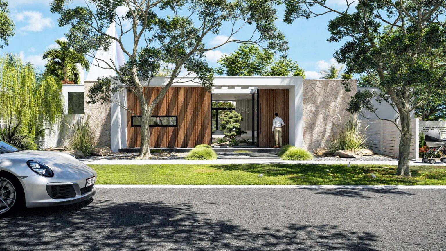
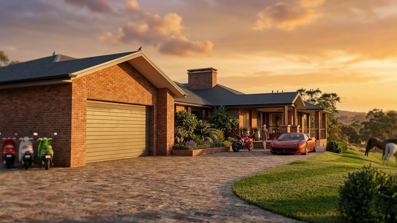
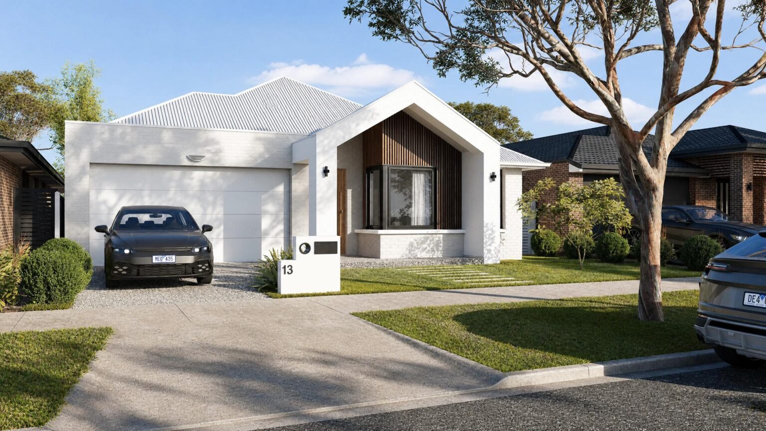
Our Regional Victoria Projects
Real projects, real sites, across regional Victoria.
The councils we cover
East Gippsland Shire
- Many properties are covered by overlays such as bushfire, inundation, heritage and erosion. Land without sewer needs a Land Capability Assessment.
- Amendment C172egip put the Paynesville Growth Area Structure Plan into the planning scheme in 2025. A detailed plan is needed before development in the growth area.
- State coastal policy plans for at least 0.8 m of sea level rise by 2100, and flood advice on lakeside land comes from the catchment management authority.
Planning scheme · Applying for a permit · Paynesville structure plan
City of Greater Bendigo
- Heathcote is rated a community at extreme risk from bushfire, and most new buildings in the Bushfire Management Overlay need a planning permit.
- A Heritage Overlay covers a Heathcote precinct and many individual places. Works there usually need a permit.
- The Managed Growth Strategy, adopted in September 2024, plans housing to 2056, with a Rural Areas Strategy to follow.
Campaspe Shire
- Echuca West is a growth area with its own Precinct Structure Plan and development contributions plan. In new estates the house design also goes to the estate’s Design Assessment Panel.
- On floodplain land in Echuca, the Local Floodplain Development Plan sets a new dwelling’s floor at least 300 mm above the 100 year flood level and generally 50 m from a levee.
- The Echuca Moama Flood Study was adopted in March 2024, and a Flood Risk Management Plan is in progress.
Barwon South West
- Greater Geelong: much of the Bellarine is covered by the Bellarine Peninsula Statement of Planning Policy (2023), which sets protected settlement boundaries. Scheme
- Queenscliffe: the whole borough sits inside the Bellarine Statement of Planning Policy. Permits
- Surf Coast: the Surf Coast Statement of Planning Policy was finalised in July 2023. Permits
- Colac Otway: new homes in a Bushfire Prone Area need a BAL assessment and at least BAL 12.5 construction. Bushfire
- Corangamite Permits
Gippsland
- Bass Coast Single dwelling
- Baw Baw Scheme
- South Gippsland: draft Amendment C135 would update flood overlays from ten flood studies, including Inverloch, Foster and Corner Inlet. It is with a state advisory committee. C135
- Wellington: Bushfire Management Overlay schedules give a quicker path for dwellings in Loch Sport, Golden Beach, Port Albert and Seaton. Bushfire
- East Gippsland: see the card above. Details
Grampians
Loddon Mallee
- Macedon Ranges: the Macedon Ranges Statement of Planning Policy sets protected settlement boundaries for towns including Kyneton, Lancefield, Riddells Creek and Woodend. Permits
- Mount Alexander: in a Heritage Overlay most external works need a permit. Heritage
- Greater Bendigo and Campaspe: see the cards above. Bendigo · Campaspe
Hume
- Alpine: the Bushfire Management Overlay applies to most properties, and a Heritage Overlay covers parts of Bright, Wandiligong, Harrietville and Myrtleford. Permits
- Indigo: in a Heritage Overlay a permit is needed for all external changes, including front fences. Heritage
- Mansfield: the Bushfire Management Overlay triggers a permit for certain development. Planning
- Moira Permits
Every site is different
- Zones, schedules and overlays change from street to street
- We check the planning scheme, title and local policy for your site before design starts
- Send us the address and we tell you what applies
Local planning information checked against council and Planning Victoria sources. Last reviewed November 2026.
How We Work in Regional Victoria
Designed for the street. Built for how you live.
Regional sites bring different questions from the suburbs: bushfire and flood overlays, coastal hazards, heritage towns, unsewered land and new growth area estates. A good design here starts with the site and its controls, then fits the brief inside what Council, the estate panel or the referral authorities look for, so the application moves through with fewer surprises.
We check the zone, overlays and character guidelines before we draw, then take the project from concept and 3D visualisation through to planning and building permit documentation. We prepare and lodge the applications; Council and your building surveyor issue the permits.
Free consultation
Planning to build or extend in Regional Victoria?
Tell us about your site and we’ll check the zone and overlays before you commit.
Book a free consultationLocal Rules, Considered Design
Regional Victoria FAQs
It depends on the zone and the overlays, and many rural sites need more than one permit. In the Farming Zone, a house on a lot smaller than the minimum area in the zone schedule (40 ha where none is set) needs a permit. The house also needs:
- all weather road access
- onsite wastewater treatment where there is no sewer
- enough water for household use and firefighting
- mains power or an alternative energy source
Buildings close to roads, boundaries, neighbouring houses or waterways can also trigger a permit. Rural Living, Rural Conservation, Green Wedge and Township zones each have their own rules. Overlays each have their own triggers too, including design, environmental, vegetation, bushfire, flood and heritage overlays. One site can need several permits at once, so contact us for a free consultation before you commit.
In the Farming Zone, an extension to an existing house is exempt up to the area in the zone schedule, or 200 m² where none is set. An outbuilding for the house is exempt up to 250 m². Setbacks and overlays can still trigger a permit, and other rural zones set their own limits. We check the schedule and overlays for your lot.
A Bushfire Prone Area is a building control. New homes need a bushfire attack level (BAL) assessment and must be built to at least BAL-12.5 under AS 3959. This is checked at building permit stage.
The Bushfire Management Overlay is a planning control for very high and extreme bushfire risk. It needs a planning permit, usually with a Bushfire Management Statement and Bushfire Management Plan, and the CFA reviews the application. Land in the overlay is also a Bushfire Prone Area.
The access rules apply when the driveway is longer than 30 m, or when a 10,000 L tank is required. They include:
- all weather construction
- at least 3.5 m of driving width, with 0.5 m clear on each side and 4 m clear overhead
- a minimum inner curve radius of 10 m
- grade limits
- a turning area for driveways over 100 m, and passing bays for driveways over 200 m
Firefighting water of 2,500, 5,000 or 10,000 L is held in an above ground concrete or metal tank. The tank has CFA fittings and a separate outlet for household use.
There is no legal requirement to build one. It is a last resort option. If you build one, it needs a building permit and must meet the National Construction Code. A planning permit may also be needed, depending on its size and the overlays on the land.
Removing native vegetation generally needs a planning permit. There are exemptions, such as for land under 0.4 ha, but overlays can take some of them away. Larger removals can need an on-site assessment by an accredited assessor, with offsets secured before work starts. Victorian and federal flora and fauna laws can also apply. In bushfire areas, the 10/30 and 10/50 rules allow some clearing around homes that existed before September 2009.
A new or changed access onto a main road needs a planning permit, and the Department of Transport and Planning reviews it. A crossover onto a local road needs the council’s consent. Road speed and sight lines can limit where the driveway goes, so we check access early.
- Sewer: wastewater is treated and kept on the lot. You need a council permit for the system, and the council may ask for a Land Capability Assessment.
- Drainage: stormwater goes to the council’s legal point of discharge. On rural land that can be a roadside drain, a dam, a watercourse or an onsite system.
- Power: in the Farming Zone, a house needs mains power or an alternative energy source, so off-grid power can be accepted.
Applications in flood zones and overlays go to the floodplain management authority, usually the catchment management authority. It can object or set conditions. A minimum floor level above the 1% flood level is common; Corangamite CMA, for example, sets 0.3 m. Homes are generally not suitable on floodway land.
Barwon South West: Geelong, the Bellarine, Queenscliff, the Surf Coast, Colac Otway and Corangamite. Gippsland: Bass Coast and Phillip Island, Baw Baw, South Gippsland, Wellington and East Gippsland, including Paynesville and the Gippsland Lakes. Grampians: Ballarat and Hepburn. Loddon Mallee: Greater Bendigo, Heathcote, Macedon Ranges, Mount Alexander and Campaspe, including Echuca. Hume: Alpine, Indigo, Mansfield and Moira. See Areas We Work In for the Melbourne regions we cover.
General information only, not advice for your property. Planning and building rules, zone schedules and overlays differ from site to site and change over time, so check the current controls for your land with your local council before you rely on them, or contact us for a free consultation.
Planning a Project in Regional Victoria?
Tell us about your site. Your first consultation is free.
Let's create something special
- 400+ projects designed
- 10+ years in practice, established 2016
- 45+ councils across Victoria
Live and Dream with Confidence.
GET IN TOUCH
Whether you're ready to start your project or need some advice, we’re here to help.